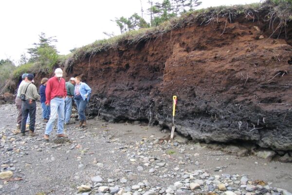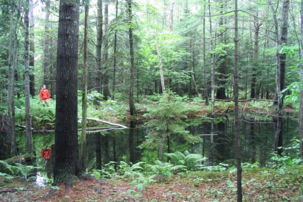
C.C. Dorion Geological Services, LLC is based in Portland, Maine, and serves clients throughout the State, including the unorganized townships (LUPC jurisdiction).
From the homeowner requiring a natural resource survey and permit application, to working with large scale linear projects (transmission lines, pipelines, wind turbines, solar farms); our expert support ensures accurate and timely results.
We assist clients with:
- Permit applications
- Planning Board meeting support
- Public hearing testimony
Certifications:
- Maine Licensed Geologist #GE485
- New Hampshire Professional Geologist #795
- Maine Licensed Soil Scientist #SS454
- Maine Certification in Erosion and Sedimentation Control Practices – MDEP
- N.O.F.A. Accredited Organic Land Care Professional